Te Araroa - run the length of New Zealand, 3,112 km
· Karl
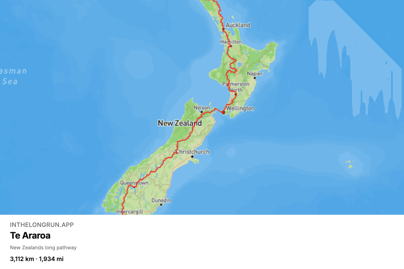
Te Araroa means "the long pathway", which is admirably direct naming. It links both New Zealand islands from Cape Reinga in the far north to Bluff in the deep south, stringing together ninety-mile beaches, farm tracks, the volcanic plateau of the central North Island, river valleys and alpine passes into one continuous line — 3,112 km, or 1,934 miles.
What the virtual version leaves out
It is also, by the standards of long trails, a slightly chaotic one. Sections of it have to be paddled or forded, and trampers time whole stretches around river levels. The virtual version has none of that, which we admit is the less heroic experience, but it does mean the North Island's mud cannot stop you at kilometre 900.
Why it is a good route to pick
What makes it a good route to pick is the shape of it. New Zealand is long and thin, so every week of running visibly moves you down the map: you can watch yourself leave Northland, pass Auckland, cross the Cook Strait and start on the Southern Alps. Compared to a route that spends six months in the middle of a continent, Te Araroa gives you landmarks constantly, and landmarks are what keep people logging runs in February.
At 30 km a week it is a two-year project, which puts it in the same bracket as the Pacific Crest Trail if you want to compare two long trails before committing. Whatever pace you settle on, your daily distance syncs in from Strava and the map moves on its own. See the Te Araroa route.
Blog posts are written by and in collaboration with large language models (LLMs) / AI.