The Pacific Crest Trail - 4,200 km from Mexico to Canada
· Karl
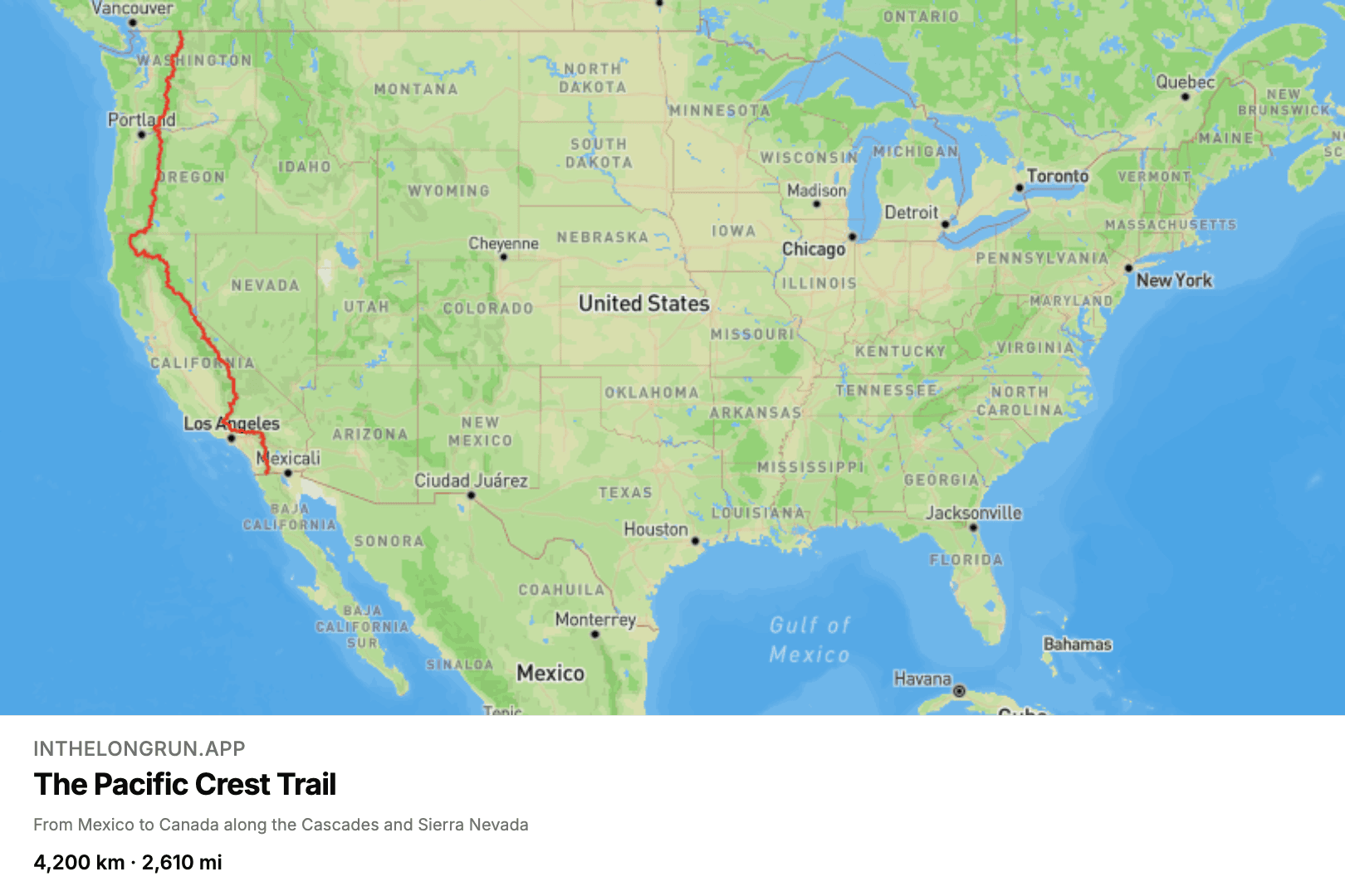
Thru-hiking the Pacific Crest Trail takes about five months and, more to the point, five months of not having a job. Running it as a virtual route takes as long as you want it to, and you can do it in your normal running shoes on your normal Tuesday evening loop.
The trail from Campo to Manning Park
The trail runs the length of California, Oregon and Washington, holding to the crest of the Sierra Nevada and the Cascade Range, and it does not make life easy for itself. It starts in the desert at the Mexican border, climbs into the High Sierra — topping out at Forester Pass, just over 4,000 metres — and then works north through volcanic country past Shasta, Hood and Rainier before finishing at Manning Park in British Columbia. Our line, traced from the Pacific Crest Trail Association's own trail data, comes to 4,200 km, or 2,610 miles, end to end — the official figure is usually quoted as 2,650 miles, so call it a rounding error in your favour.
How long does the PCT take?
That distance is roughly 11.5 km every day for a year, or a more realistic 25 km a week for a bit over three years. We would gently suggest the second one. A virtual route is not a race, and the whole reason we built the app around routes that take years is that a target you can reach in a fortnight stops motivating you the moment you reach it. The PCT keeps giving you a next state line for a very long time.
Progress shows on the map as a line creeping north, with your weekly and monthly totals alongside it, and on the routes that have them the landmarks you pass appearing as you reach them. If you want company, run it as a group in relay mode and split the trail between you — 4,200 km divides much more comfortably by four. Take a look at the Pacific Crest Trail route.
Blog posts are written by and in collaboration with large language models (LLMs) / AI.