Kashmir to Kanyakumari - the length of India, 3,604 km
· Karl
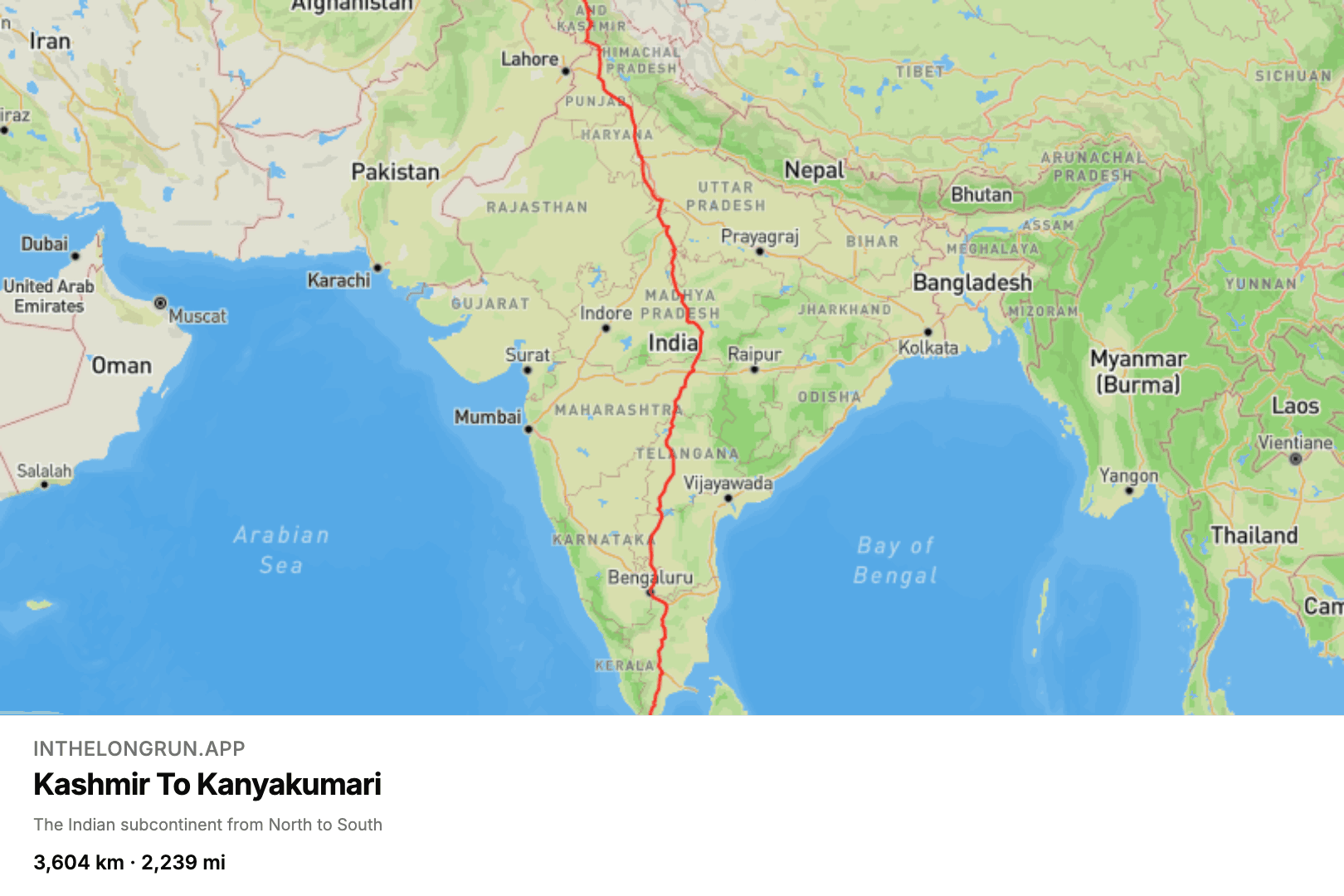
Indian cyclists and runners have a shorthand for the country's end to end: K2K. Kashmir to Kanyakumari runs from the Himalayan valleys around Srinagar to the cape at the very southern tip of the subcontinent, where the Arabian Sea, the Bay of Bengal and the Indian Ocean meet — and where, if you time it right, you can watch the sun set and the moon rise over the water on the same evening.
The route down National Highway 44
The virtual route largely follows National Highway 44, India's longest, and covers 3,604 km (2,239 miles) through eleven states. That is a lot of country to cross: mountain valleys, the Punjab plains, Delhi, the Deccan plateau, and then down through Karnataka and Tamil Nadu into the tropics. Few routes change this much between the start and the finish, and none of the others we have does it in a straight line down a single highway.
How long does K2K take?
Practically, it sits in a nice spot. At 35 km a week it is a two-year goal, much like Te Araroa, the other route here that runs the length of a country. Long enough to be a real commitment, short enough that you can picture finishing it — which, in our experience, is the sweet spot for actually getting out of the door on a wet Tuesday.
This route was added due to a user requesting it, if you can't find a route you'd like to do let us know. Take a look at Kashmir to Kanyakumari, or browse everything else while you decide.
Blog posts are written by and in collaboration with large language models (LLMs) / AI.