Highway 1 - run a lap of Australia, 13,398 km
· Karl
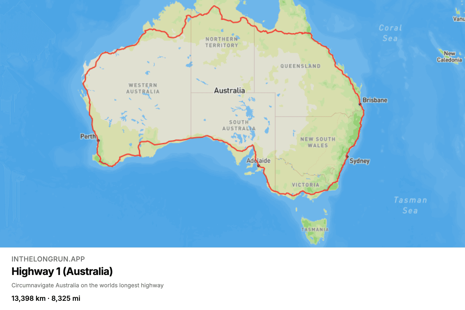
Most long routes go from somewhere to somewhere else. Highway 1 goes all the way around. It is a ring of linked national and state highways circling the entire Australian mainland — the longest continuous national route in the world — and as a virtual route it starts and finishes in Sydney, 13,398 km (8,325 miles) later. For context that's around the same distance as from the UK to Australia.
What a lap of Australia looks like
A lap is a genuinely different feeling to a traverse. There is no halfway point where you have crossed the mountains and it is downhill from here; there is just the loop, and the slow satisfaction of watching the line close. Along the way it takes in the Princes Highway down the south-east coast, the tropical Queensland coast, the red country of the Top End, and the Nullarbor Plain, where the Eyre Highway runs dead straight for 146 kilometres without a single bend. If you have ever wanted to know what a 146 km straight looks like on a map, this is the route for you. It looks like a straight line.
How long does a lap take?
The distance puts it firmly in multi-year territory: about five years at 50 km a week, or a bit over three at 80. Which makes it a natural group route. Split between a running club in relay mode, everyone's kilometres pooled, a lap of Australia is a single season's project — and it is a much better line on a wall map than a spreadsheet of weekly totals.
If you like your goals absurd but finite, this is the one — and if it turns out not to be absurd enough, the Pan-American Highway is twice as long again. Start your lap of Australia.
Blog posts are written by and in collaboration with large language models (LLMs) / AI.